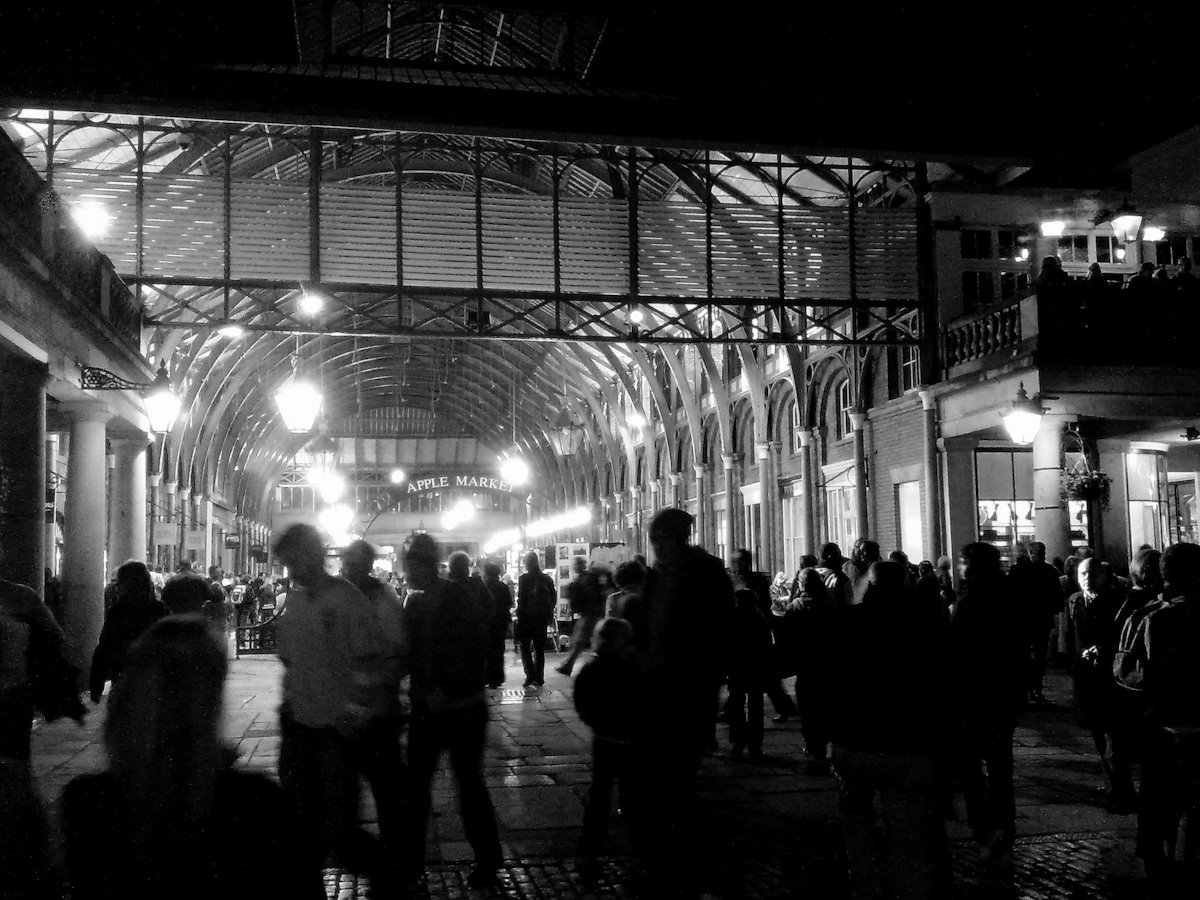
Exploring informal education. Walking in central London, we can find many places associated with key figures and moments in the making of informal education. Explore them through a virtual (or real) walk that starts by the river next to Charing Cross Station and ends close to Oxford Street.
Exploring social action. A walk exploring the nature of social action – and the role of settlements, missions and community organisations. The walk starts close to Tower Bridge and ends in Rotherhithe and can also be explored virtually or for real.
Both these walks make use of Charles Booth’s poverty maps (1898-9) and can be compared with a contemporary street map. The walks were originally developed for students training to be informal and community educators, and draw upon local knowledge. [Updated September/October 2024 and August/October 2025]
You can also download PDF versions of the walks. Click here.
Venturing north?
If you are thinking of venturing north, consider coming to Orkney, particularly Burray and South Ronaldsay (where infed.org is based). You can get a ferry directly to the islands from nearby John O’Groats [click for details] and travel onto mainland Orkney by road across the famous Churchill Barriers.
Exploring South Ronaldsay provides a picture of the history and daily life of this Orkney island and its neighbour, Burray. You don’t have to go far here to find fascinating places to visit and things to do. The site lists historic sites and walks that take in key features of South Ronaldsay and Burray. It includes material on churches and chapels, the history of local schooling, and archaeological sites.
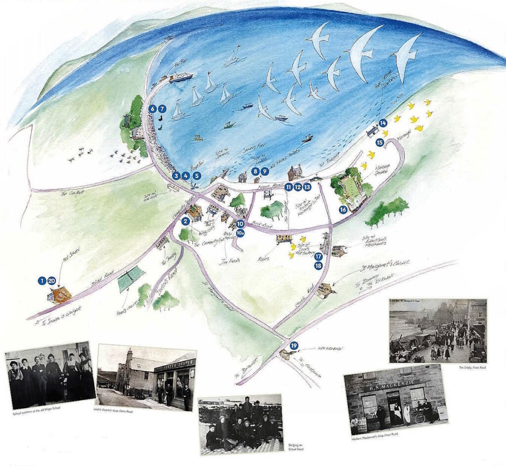
Also included are three walks developed by islanders (and in particular, Sheena Graham-George). One is in St Margaret’s Hope, another is in Burwick. The third South Ronaldsay listening walk, developed by Sheena, is around St. Peter’s Kirk, Eastside, and has just been added. Each has stops complete with recordings of islanders talking about local life and experiences. You just click to listen – wherever you are.
A further excursion takes in all 20 listed buildings in Burray and South Ronaldsay: Exploring listed buildings from north to south. There are some fascinating places involved, one of which is the Fourth Churchill Barrier (built during the Second World War), which joins the two islands.
All the places mentioned here can be seen on the Open Street Map, and you can click on them from these pages.
Acknowledgements: The picture of Covent Garden is by J. D. Mack. Sourced from Flickr and reproduced under a Creative Commons Attribution-NoDerivs 2.0 Generic (CC BY-ND 2.0 Licence. https://www.flickr.com/photos/29108968@N06/2995836769/. (edit)
updated: February 21, 2026